New Zealand Honeymoon Bikepack


Somewhere on Molesworth Pass

Charles and I made an early decision in wedding planning that it would be "fun" to let our guests have a say in our Honeymoon. Since Charles had never been out of the US (!), I narrowed it down to 3 countries for our guests to choose from: Ireland, France, and New Zealand. It was a real nail biter till the end, but a couple of friends made a big push for New Zealand, so I told Charles to buckle up, he's doing the big flight (26 hours total) across the Pacific, and if we're going to go that far, we needed to go for as LONG as we possible could (and still have jobs) (this was exactly 23 days). 

Normally I write these posts as day by day, but since we biked for 20 days, covering over 1000 miles, visiting dozens of memorable towns and stays, and meeting many interesting people, I will write up this post more as a perspective piece of our experience (yes I have the route and yes, I can answer questions if you have any!). 


Before we started, Charles and I had a couple of mutually implied rules for our Honeymoon. One was that we wouldn't like blow money unnecessarily, but we wouldn't begrudge ourselves eating out or getting the fancy granola bar (ok, ok, Charles commented once that my protein bar of choice was "a bit pricey". He got a look.) The next rule was that we wouldn't just bike the entire time. Again, I know, you're all here to read about the epic climbs we did, but I hate to disappoint, we only had one day on the bike I'd consider "respectable" and for the rest, we really enjoyed ourselves. Third, we weren't going to die on our honeymoon -- no stupid stuff!! 

Proof that we enjoyed ourselves - "Gravity" Luging in Queenstown was a Blast

The tentative plan when we arrived was that we had BnB lodging for the first two days, the last day (and would leave our bike bags in Christchurch at that BnB), and we had a car transfer to take us from Christchurch to Dunedin the next day to cut out about 300 miles of flat highway riding. Oh, and we had a train ticket from Picton at the northern tip of the South Island on December 26th. That was all! The rest we'd figure out.

this was ALL we had for 3 weeks

After exploring Christchurch by foot a bit, we ate and then packed up our bags for the trip. It was funny, throughout the journey, people would ask us when we arrived "where our bags are?". Us: "This is it -- no really, this is IT. We have to carry everything". Charles, newer to touring, had TWO sets of off bike shorts and pants (GASP), but I had one pair of wool cycling shorts, one pair of wool tights, one ultra light base layer pants, two wool shirts, 3 wool socks, two wool sports bras, one pair of quick dry shorts, a down puffy, rain jacket (from Nepal, lol), buff, and a last minute quarter zip wool long sleeve shirt (life saver). Notice everything was "wool", that was crucial choice for this trip and the different weather we encountered! 

We had a lovely time with our car transfer drivers who took us and the bikes down to Dunedin the next day. One of them, Sharon, gave us a wrapped present to open on Christmas(!). While incredibly thoughtful, we had to carry this ~1 pound package the entire trip! Charles wanted to unwrap it in Dunedin to make sure it was worth carrying, but I said I would carry it and we'd open it on Christmas... it'll be really special. Charles gave me a look like I had 2 heads, seeing as I had been telling him he didn't need the pants he was bringing, etc etc. 

our bikes, fully loaded in Dunedin! 

Our typical riding day was usually between 50-70 miles unless it was a "rest" day. As we started out along the Southern Coast, in the "Catlins", our riding was challenging -- hilly, remote, windy at times, full unrelenting sun, and heavy rain storms, all in the same afternoon at times. In the peak of summer at 45S+, we had over 15 hours of daylight and could luxuriously opt out of riding in bad weather (sometimes) by lounging in the cafes that exist in almost every small New Zealand town. In these cafes, you'll find a large bakery selection, sometimes meat pies, sausage rolls, a selection of "brekkie" choices, and fish and chips. OH, and of course, coffee!  

Finding only poached eggs at one cafe, Charles said "fine, I'll have fish and chips for breakfast"

The Catlins was a mix of sheep laden green hillsides with things that looked like a second cousin of Joshua Trees and untouched, dense rain forest. We rode through it all - a tough moment included HAIL in 40 km/h winds (with 65+ km/h gusts). It was so bad and came on quickly at the top of a pass, Charles was able to make it to the ditch for cover, but it took me a solid 5 minutes before I could turn and run to the ditch with how hard the hail was hitting my face! On that same day, we had a headwind so bad we couldn't even stand in it at times, let alone pedal forward. When we got into our accomodations for that night, we had zero food and were easily 20 miles from any stores. We literally begged our host for anything out of her personal fridge. She generously gave us a bunch of leftovers which we devoured (and yes we paid her for it too - no as starving bikepackers, we know the price of food!).  


This was a respectable waterfall 

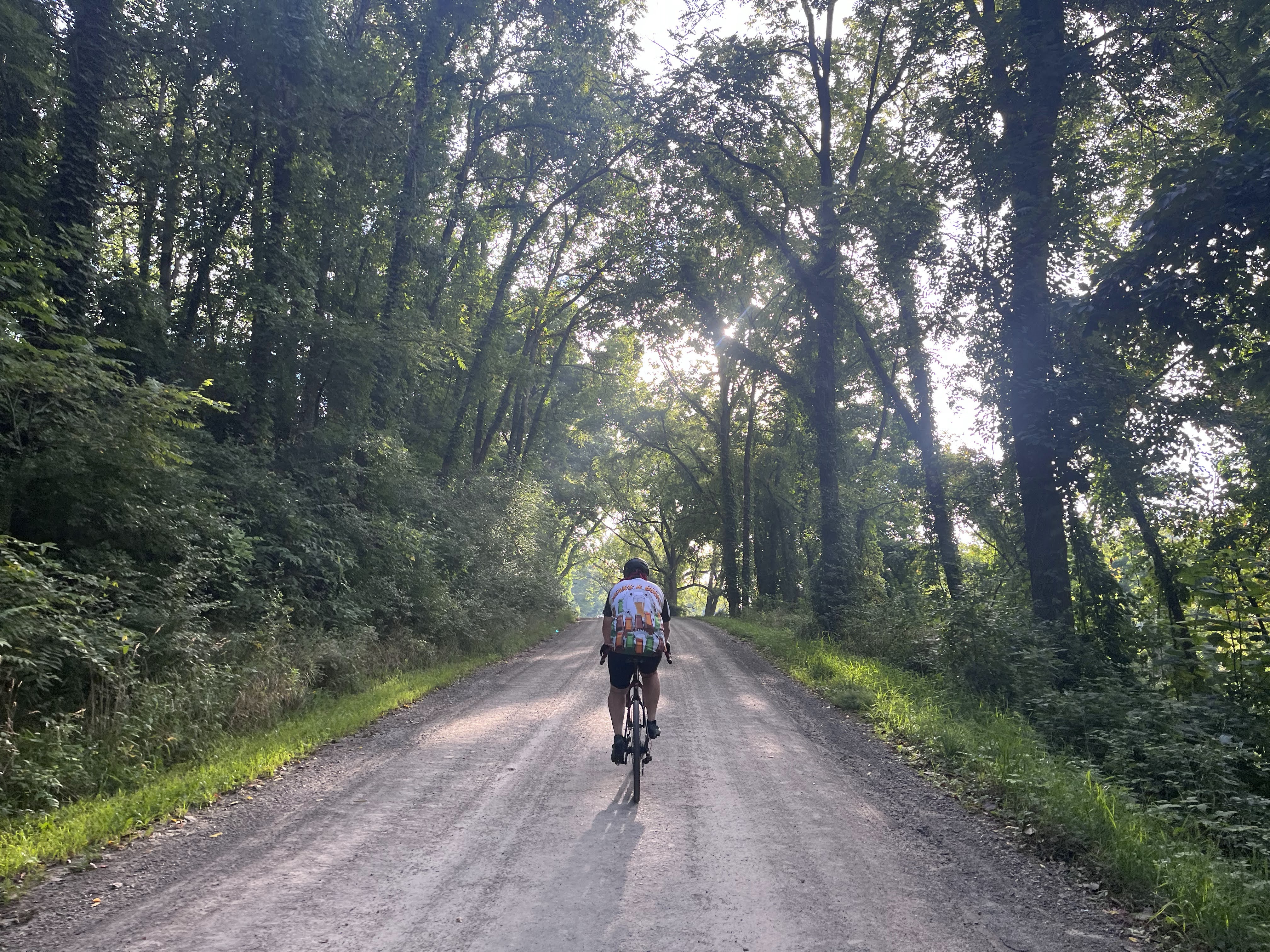
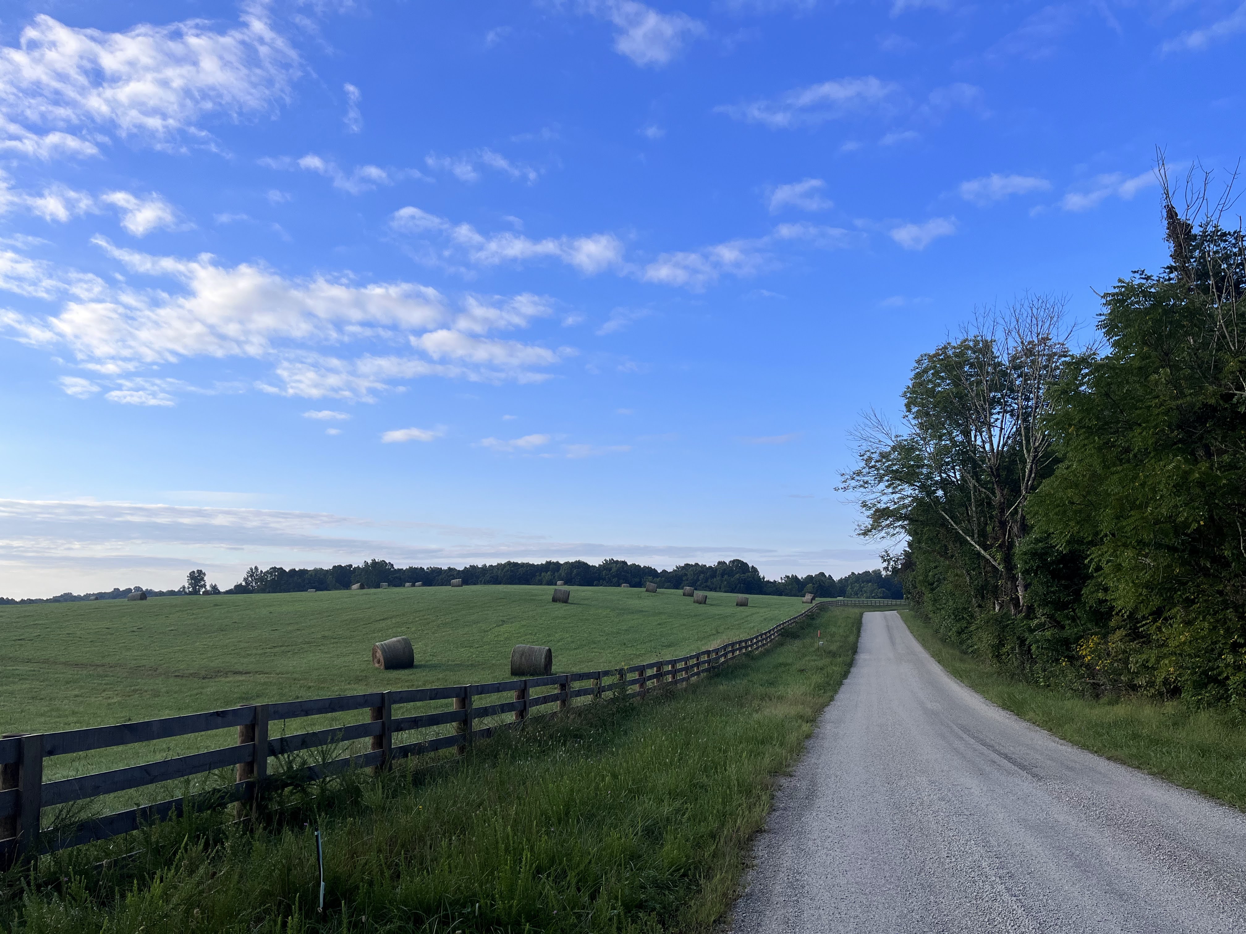
The best of the Catlins were riding on these beautiful empty gravel roads and getting to truly experience the country side and the ruggedness of the South coast. We stopped at beaches (gem stone beach was a highlight - I buried Charles in little rocks while he took a nap), listened to birds in the evening, and were never far from the ocean. 

We're gunna take the ring to Mordor! 


From the Catlins, we moved into Manapouri, Te Anu, and Queenstown in the Southwest part of New Zealand. There was too much to do here - epic mountain vistas were now in our daily view, Charles had a life-altering lamb and mint pie in Te Anu (how can one eat baby sheep, I have no idea!!!), and we biked through a trail that had a lot of recognizable filming from Lord of the Rings - Fellowship. 

"Around the Mountains" was a must-do bikepacking loop from Queenstown


From Te Anu to Walter Station, we took the "Around the Mountains" bike trail. New Zealand has an incredible network of bike paths and trails and Around the Mountains was a mostly gravel road that we took from outside Te Anu to Walter Peak Station where we'd catch a ferry to Queenstown. We had planned to do this in 2 days but fueled by a 2kg ginger slice (which I affectionately called "Ginger Brick". And I carried it.) and pies to go, we made great time in a stunning landscape. In our direction, we climbed slowly for hours and had a big FUN descent at the end. Charles hadn't really seen me descend in the mountains before and was surprised at his wife's rip down the mountain and yelling "FULL SEND" as she rode across a stream at the bottom. 

Bike Accomodation on our Yacht 


Unfortunately (fortunately?) the last ferry out of Walter Station was full (what?!). Walter Station is like a quaint farm experience for people from Queenstown (city folk) to enjoy. Well, fortunately we had been carrying full camp gear this entire time, so we camped nearby and met other bikepackers going north to south. When we woke up early the next morning, we were the only ones on the return ferry to Qtown, so we got a "private yacht" experience and to hang out with the captain. 

Queenstown was a sweet break for us. We went white water rafting, hiked, gravity luged, biked around the area, and enjoyed pies from Ferd's Bakery. At this point in the trip, Charles had become quite the foodie after really embracing British foods (mince pie, fish and chips, even tea!), and was now referring to Indian food as a "safe option" and open to trying Japanese, Thai, etc. 

Our rec if you only have a week in NZ - just fly into Queenstown directly and enjoy it fully.

We made the decision call to get a car transfer from Queenstown to Franz Josef Glacier to skip the (very) wet West Coast and the narrow, winding roads with many tourists on them. There wasn't a reasonable way to bike around them, so we looked into one way tours to Franz Josef (which was a thing) and found someone who was willing to drive us and the bikes for a reasonable price. After two days in Queenstown, we loaded up the bikes and made our way North with our fun and eccentric driver. 

Wanaka Tree, actually the fun part here was the crowd of people on shore taking a picture of this tree. 

At Franz Josef, Charles saw his first glacier (eh, not the most impressive glacier). We then were "cafe trapped" for several hours as it rained before finally escaping in lighter rain. From Franz Josef, we made our way to Greymouth and Charleston. After finding a glow worm/cave rafting tour in Charleston and reading the reviews, I told Charles this was a must-do for me, so we trekked our way North in big climbs and even bigger beaches. 

one of numerous glacial rivers

We had many adventures in this stretch, from fording a river when a bridge was out (more marriage-bonding opportunities), to "exploring" tramping trail (do not recommend!!!), to cruising down cyclepath (like single track+) trail on the West Coast Wilderness trail. Overall, these were fun and goofy days, where we didn't work too hard and spent a lot of time looking at rocks on beaches and eating great good. 

the bridge was down so... 

more rain forest track


 After several days and big climbs, we made it Charleston, which was a sleepy town of 62 people that promised glow worm cave tours, one hotel, one cafe, and blue penguin watching (we only saw one dead penguin. I don't want to talk about it....). 

dead penguin beach in Charleston

cave rafting - see we did more than just bike! 


The glow worm cave rafting experience in Charleston was the highlight of the trip for me (besides biking with Charles). At one point, you're floating in the cave in a small river in pitch darkness, looking up at tens of thousands of glow worms flaring from blue to teal to bright green. It looked like the aurora overhead or like the cave was trying to talk to us (well, the worms were trying to attract bugs so they could eat them). 

at least the mountains are sure pretty to look at! 


After Charleston demarcated the next "real climbing" leg of the trip to Hamner Springs. We had to cross the Southern Alps of New Zealand, which was no small feat -- we were always going up or down and had limited access to resources in between. The riding was beautiful - mountainous rainforest. We dropped into Reefton, which you'd expect to be a nothing town, but it had the best pastries of the trip. We had some incredible muffins and desserts in Reefton! 


the pastries of Reefton... I could have stayed and just eaten them for days

After hearing about "amazing hot springs" the entire trip, we decided to stay at a mountain relaxation spa retreat called Maruia Springs before Hamner Springs for a "rest day". Again, I was reminded and Charles learned for the first time that we are both not resort people. Not enough food, too much spa and weird viking music in a sauna. But it was nice to get a quick soak! 

We did have a sweet glamping pod at the resort though! 


Moody mountain pass biking

We dropped into Hamner Springs, ate as much in 2 hours as we could stuff into our bodies, and then we started the big climb out of Jack's Pass (~2000 feet). It went surprisingly well considering I thought if I put another particle of food into my body I would certainly vomit. We camped about 10 miles outside Hamner on the pass (yay! Tent got a second day of action). The following day, I strongly suggested to Charles that we push for Blenheim -- I used all my temptress words "we could have a hot shower... a real meal... not sleep on the ground..." and the real homewrecker "and wash our clothes". We'd have to do a 105 mile day with almost 8000 ft of climbing to get to Blenheim, but "I really think we can do it Charles" (he had low confidence in us). 


Wild Hedgehog!


But, Charles got a taste of bikepack racing life -- you just bike. The climbs sometimes suck (we had a few 15%+ grade climbs), you eat all the gummy worms and granola bars, you filter water, and you ... bike. No breaks. We had gorgeous weather and beautiful views to keep us motivated, and after some nasty gravel into Blenheim, we made it in plenty of time to get "safe" Indian food in town (which was pretty spectacular). 

And with that heroic push, we were basically done. We cruised the easy 25 miles to Picton on Christmas Eve, stocked up on groceries and food (we weren't sure anything would be open on Christmas), and then settled into our Airbnb in Waikawa. On Christmas Day, we opened our "mystery" gift -- a tea towel! Which actually was a perfect gift, but I kind of wished I had opened sooner to use as a towel. Then we hung out with our hosts for a while (a delightful family) before doing a 50 mile "joy" loop around Queen Charlotte track with unloaded bikes. Euphoria!!! 


the Christmas present! 

Enjoying Christmas Day


Christmas certainly has a different holiday vibe in New Zealand - while there are Santas and presents are exchanged, it's much more of an outdoor family / grilling holiday, much like our Independence Day in the States. We saw tons of people on the water and with their families at the beach, enjoying a summer day. 

Merry Christmas 

The morning after Christmas, we took a boat tour in the morning to see wildlife and visit a small ecological reserve island. I saw a non-dead penguin! Charles and I made friends with some of the small birds on the island too. Then, we took the "Coastal Scenic Train" back to Christchurch (incredible, 100% worth it, great views and food and 7 hours flew by) with our bikes before we left for the States the following day. 

wow we made it to the train! 


Overall thoughts? From a honeymoon view, this adventure definitely sealed the marriage in a great way. I learned many new things about my husband on this trip, and by the end, we were working together as a team effortlessly. It wasn't always sunshine and roses -- we certainly had our trials and frustrations with each other. But we came out stronger afterward, and I feel like this honeymoon will always be an anchoring and happy memory for us throughout our marriage, an experience (well, collection of experiences) shared that we can look back on and smile. 

For New Zealand South Island, oh gosh, everyone should come here and bike. Really. I could wax on, and this post really skates the surface on the things we did and saw. It's an experience worth doing and worth making happen. I could see us going back for a 20th anniversary or something -- we'll see where life takes us. 


and yet, so much left undone! 


Net, we did over 1000 miles of biking and 60,000ft+ with some decent weight on our bikes. We wore the same clothes (!) for 3 weeks, with only two loads of laundry and many sink washes. I ate a crazy number of bumper bars (NZ granola bar) and learned my favorite NZ breakfast foods. Our routes are here.

Chicken Leg 100

In the words of John Weller, "Another Day at the Office" 


Many moons ago, Charles came home for a ride and talked about how his friend who leads Dirt Church, Tim, wanted to have an epic ride to celebrate a birthday milestone this year. He was calling it "Chicken Leg 100" after a Friday doughnut group ride where they would get chicken leg doughnuts (pictured below). The idea was they would do the Chicken Leg Ride of all Chicken Leg Rides and it would be amazing. 

Chicken Leg Doughnuts 


I wanted in on this ride, very badly. Although I am not fast enough to keep up with the Dirt Church group, they do the type of riding I love -- adventure riding on non-trails trails and willing to go far to see and do awesome things. Chicken Leg 100 was a dream ride for me, a great adventure, and fortunately Tim opened it up for anyone to join his birthday celebration (as long as they had a bail out option) and even provided transportation for people and bikes to the start of the ride an hour and a half away at Tippy Dam. Wow - thank you Tim for the most dialed birthday party ever! 

For months, Chicken Leg 100 on Friday June 21st seemed so far off. Charles and I had this wedding to plan, we had travel, I had significant health issues (addressed and doing much much much better). We had other events we signed up for too that took precedence -- the Epic Bike fest in Cable and Lumberjack 100 (two weeks and one week before Chicken Leg respectively). I knew Chicken Leg 100 would be the hardest event of the year for me and I was hoping/praying that some combination of healing, training, and the other races would put me in a position to make it through. 

In a surreal passage of time, the next thing it was June 21st 4:30 AM and an alarm went off, and I turned to Charles and said "it's Chicken Leg 100 day!" We quickly got our things together, ate our tempeh-egg burritos and made it down to the meet point to catch the buses at 4:50 AM. There were probably 60ish people at the start and by 5:15 AM, we were rolling out (with chicken leg doughnuts, courtesy of Tim!) to Tippy Dam. 

The bus ride was that awkward combination of wanting to talk to a bunch of cool cyclists but also, it's 5 AM and none of us are awake. But around 6:30 AM we got to the start point, got our bikes, took a big group selfie, and ... no start whistle, just ... start riding home! 
 

the start of a long day! 


Within a mile I made my first wrong turn by missing the North Country Trail (NCT) trail and continuing on the road. This would be the first of about 300 wrong turns of the day. Tim's vision for the Super Chicken Leg was that we would follow the bikeable portion of the NCT back to Holiday Hills (near VASA where we live in Traverse City). However, the NCT is better known for being a great hiking trail than a mountain bike one, which means the riding would be steep, swampy, rooty, sudden turns, steps, etc. at times. Yay! 

One of many bridges


I started off the morning slow and steady -- many people passed me on a hilly but flowy 12 mile section of the trail. My goal was just to keep it light and easy, no crashes and no real effort till the last 10 miles or so. I had a water vest with 1.5L on and about a 1000 calories of my new favorite snack, jalepeno cheeze its mixed with sour gummy worms, basically rocket fuel. 


Ty, one of the picnickers! 


After the first trail section, we had the "easiest" part of the day with about 20 miles of gravel and a sandy out and back climb. This was a necessary re-route around some hiking only NCT trail, but gave us some quality time on gravel forest service roads. Through this part, I was in and out of groups, sometimes alone and sometimes chatting with other people. 


Riding with Charles a bit after skipping the aid station


We made it through the town of Mesick (the only town the route went through) and then hit the first aid station (informally set up, it wasn't clear where exactly they would be or what would be there). With more than half my water left, a long line at the water cooler, and having seen a bunch of campgrounds with pumps before this point, I thought I'd skip this aid station and just keep rolling. [Cue dramatic music] 


I soon lost Charles after a bit of gravel and, after another wrong turn, we started on the "adventure" portion of the trail, which would extend from mile 30 to about mile 80. The initial part of overgrown swamp land was a bit of a shock to the system. I thought for sure I was going to pick up 1000 ticks in the swamp (spoiler: picked up none?!) 

follow "the trail" 


Although the most challenging section (up, down, on/off bike), this was the most rewarding part of the day. It was quiet and remote - I heard birds' wings flapping, the deep croaking of a bullfrog, smelled white pine, rolled through daisy and thistle fields, and many butterflies fluttered around me through the late morning and afternoon.


 Most of the time it was just me, enjoying the sounds of nature and thumbing my way along the Manistee River, wondering what the next bend or climb would hold. But I did start leap frogging with a group of men (well, two groups of men) who I nicknamed "the Picnickers". OMG I've never seen anything like it. It was a group of men, all way stronger and way better mountain bikers than me, but they were just having picnics all day, stopping to lay in fields and pick flowers, pulling over for snacks every 5 miles, Nick at one point encouraging me to "Lo, stop, smell this, this plan smells amazing" (ok, I concede, it did smell great but it 100% looked like weed). 


John Thoreau would have loved this


It wasn't all easy and nice fields. A lot of hike-a-bike, washed out trail, steep non-rideable climbs and drops, and bridges that were a wet piece of 12" x 48" piece of wood across a muddy stream (I fell off one of these, soaking myself in mud. Scottie (my mountain bike) was completely unscathed). I was glad I wore a long sleeve jersey because there were a lot of brambles and poison ivy (Erin, I have no idea how you rode in a sports bra all day!). 


Going Up


By the time I made it to the aid station at mile 52 (no campgrounds between mile 30-50) I was totally out of water and needed to put food back in my top tube bag. I just saw the picnickers leaving as I pulled in, so I made a quick stop (thank you volunteers!), filled up water, found my "heavenly hunks" in my bag (!!! 700 calories worth of dense granola bar) and was ready to go again. The volunteers at the stop told me I was the first woman through, which was cool, but I really just wanted to catch the picnickers. #motivation 


The miles cranked away. There were more aid stations (2 or 3) and I got more water at one and a cookie, but otherwise I soldiered on, passing the picnickers at every aid station. Nick would try to ask me why I wouldn't enjoy the day and have fun (in my head "because if I picnicked like you all did, I would literally not finish. Turtles don't get picnics!"). 


Plus, I was having my own variation of fun. In this leg of Chicken Leg (miles 60-80, about 8-10 hours in) I went into a zen state. Sometimes in these long rides when I hit these states, I somewhat hallucinate and I talk with loved ones that have passed on. It's like I can hear their voices again, and it only happens sometimes on these very long rides. I had some great conversations (not crazy, I promise!) with them, like my Grandpa who died over 10 years ago, and told him about Charles and how similar they both were. 


After about 6 more leap frogs with the picnickers, I passed them at Muncie Park (~18 miles to go? home territory) but then two caught me in the woods. However I watched them make a wrong turn (I did try to tell them they were going the wrong way) and hustled my way back through VASA (definitely familiar territory again!) and finished around 6:40 PM, just under 12 hours with a grand total of 7.5 minutes off the bike the entire day. Wow! 


The chicken leg hat 


Did I beat the picnickers? No! They were there at the finish already, breaking my heart. They took an alternate way back! As Ty said after "apologies for all the picnicking and cheating" haha. I wouldn't have it any other way - it brought a big smile to see them and "try" to stay ahead as long as I could throughout the day. 


Very proud of have finished this event and although my body feels like it went through a tumble cycle in the dryer with some bowling balls and hiking boots, I would recommend it. A very unique experience and I'm grateful for all the friends, volunteers, and especially for Tim for making it happen. 


the chicken leg 100! 

Bachelorette Party Nepal


The most epic Bachelorette Party I've heard of 😆

In the usual manner of things, this adventure started with a text message out of the blue from me on very short notice to Claire that approximately went like this:

L: "Hey you want to go mountain bike a 10 day loop in Nepal in March?" 

C: "Sure. Sounds great. Btw, this is your Bachelorette Party"

L: "Ok, ya, that makes sense" 


Start of the Adventure 


Sparing a lot of details of why Nepal ("why not Nepal?"), planning ("what planning?"), and how did you choose the Annapurna Loop (bizarrely, shoulder seasons are the best time to do this trip), we landed on the Annapurna Loop through Spice Roads . It was a 10ish day Loop of that started in Kathmandu (well, we started biking in Besisahar) and finished in Pokhara. It was advertised as challenging, remote, a mix of singletrack and dirt roads - going up to over 17,000 feet and involving "a wide mix of terrain" and sounded exactly like a Claire-Lo adventure (clo-venture). 

Our indomitable Guide Om

We met our guide Om, who is absolutely the person that comes to mind that might guide this type of adventure - he was a blend of vivacious, almost bouncing with energy, and chill-surfer vibes ("it's all good dude!") wiry with dreads that almost reached the ground. And a huge smile. Om is clearly someone who loves his job ("I get to mountain bike all day and other people cook for me!"). It would  be possible to do this loop without a guide, but I believe we would have had a lot more mishaps of the less fun kind. We also had porters who either bussed or hiked our (medium) bags + our guide's bag from teahouse to teahouse (I'd ask to bikepack this if I were to do it again, but it would be challenging, especially with the pass). 

We "started" in Kathmandu, the main city in Nepal. After a test bike ride ("yep, you all will be fine"), we drove 200 km in a Jeep with the bikes to Besisahar. Guess how long that took us? 2 hours? Nope. It took us 9 hours to go 120 miles. The major highway out of Kathmandu to the mountains is a packed dirt road that cuts down narrowly in switchbacks and back up (Nepal is only down or up. There is no flat.) 

We survived the drive, met our porters at our teahouse (hostel/hotels with restaurants and, of course, tea). When we arrived, a large Indian wedding was happening and we were encouraged (?) both by our guide and guests to join in on the celebrations. Everyone wore red and our guide explained that they had been doing traditional ceremonies all day. I was feeling quite popular / Ripley's Believe it Or Not as I had a line of women who wanted to take selfies with me... because I was about a foot taller than all of the men and women there. Claire just cackled in the background as my queuing line included children,  men, women...

The next day we started biking at 2500 feet and climbed up to 6000 feet. I wish I could say it was a nice long steady climb, but it was an endless series of up and down on gravel roads and some hiking trails. Our guide quickly realize we were not up for a shreddin' good time on the steep, rocky single track and were content to climb away and enjoy the views from the "highway" (re: two track). Also, little did I know Besisahar would be my last hot shower for a long while, and our last stay with reliable video-calling level internet (sorry Charles!). 

Normal trail views 

We made our way to the town of Tal, which had a lot of homes with metal blue roofs and was nestled in the river valley after a big climb. It was a great day - not an easy one, but we had a tea stop along the way and a wonderful dinner in Tal. All the food is fresh in Nepal - not all the teahouses have refrigeration readily available and most things either have to be grown or brought in by jeep. Also, the tea houses along the Annapurna Loop have "standard menus", so you always knew what you were going to get (my favorites: egg curry, the big breakfast, and dal bhat). 

and the unbelievable moments 

Day 2 we worked our way up to Chame, winding through a National Park (waterfalls galore) and climbing, climbing, climbing to 8000 feet (but +4000 ft for the day). The landscape started to change to more pine trees and moss, somewhat like Seattle (it could be that this day was cloudy and threatening rain!). The climbs started to get steep (my favorite!!!), with a 15% grade becoming the norm. Snow capped mountains now appeared around every turn. 

In Chame, Om told us we were lucky to come in only cold - most people arrive in Chame wet too (ha). Chame felt like an experience unto itself, a beautiful glaical melt turquoise river cutting through a town that almost looked like it belonged in Switzerland or the Dolomites. It also marked the beginning of our new daily pattern of arrive at teahouse for night, immediately go sit by fire in companionable silence for 1-2 hours to get warm as the sky darkened. Now above 8,000 ft (solidly in the mountains if comparing to Colorado!), as soon as it was dark, it was really cold, like well below freezing. We had another outstanding meal, passed out, and repeated again. 

Chame was also where I caved and started taking Diamox, which helps lessen altitude sickness symptoms when you rapidly ascend (we were rapidly ascending). I had headaches both mornings above 6000 feet and I didn't think my odds were good to stay upright when our plan to keep going up. Om fortunately had Diamox on hand (he knew what he was doing!). 

The next day (hard to believe this was only day 3 and we had only done about 40 miles), we made our way up to Manang (11,000 ft). This was when the "highway" started to break down into muddy, snowy double track as we continued to climb up and up. But the views... for me, this section had the most breathtaking views. We were at 10,000 feet, could see mountains that looked like the Colorado Rockies looming around us, and behind them, looming ... Holy Himalayas. We went through a corridor in the mountains that had 25000+ ft mountains on both sides, statuesque in and out of the clouds. 

Behind these mountains were the Himalayas

More climbing, another big mountain pass up to 12000 ft. Just as we reached the top of that one (epic views), I realized I had dropped my phone somewhere up the climb (dang!). Fortunately only 1/4 of a mile down or so I found it, and whew, we continued on. 


We then biked through a cleared avalanche field, with snow over 15 feet on both sides of us. At this point, the weather started to change at the tops of the mountains around us, and we focused on making it to Manang before the snow hit us (spoiler: we just made it as the flakes started to fall). 


Manang had been this promised city of sorts -- a gateway to the mountains and the last town along the highway. We were looking forward to Manang, and it did not disappoint. Manang appears as this almost castle-like city at 11,000 ft surrounded by epic mountains covered in glaciers (see below). If I were to stay in one place in Nepal, it would be Manang. 


View from Manang Teahouse - I stayed in the pink cabin!


Manang also was a two night stay for us - we had a built in acclimatization day factored into the trip. For me, this rest day was badly needed as I started to come down with a cold (nooooo) as my immune system deteriorated with increasing elevation. I'd like to thank hot lemon ginger tea for keeping me alive and moving. We hiked a bit on our rest day in Manang, but mostly we slept, journaled, played with an adorable puppy, drank tea, talked, and read in the sun and hoped the snow would keep melting (otherwise we'd be riding in it...). Claire also decided to take the Diamox -- which was a good choice because the westerners we met who didn't all seemed to have trouble at the pass (re: vomiting, dizziness). 


Joy

All great rest days come to an end, and Day 5 Manang to Thorong Phedi, was the hardest one on our trip. The highway was reduced to muddy, snow covered singletrack. Morale was shaky as we worked our way up to 14,500 feet across 14 miles. It doesn't sound awful, except we couldn't bike much of it; most of it was a sloppy snow-mud yuck fest of pushing or carrying our bikes along steep "caution: landslide" paths. 


This was the day I decided to start wearing the veil I had brought with me, and we had a lot of big smiles as people asked where the groom was and we told them that this was a "Bachelorette Party". 


I mean, what a view to slog along with your bike


But we made it, cold and exhausted to Thorong Phedi. Om warned us that this would be a rustic stay, with limited water and food. I barely remember what we ate that night, just that I was cold, had an incredible amount of mucus that was coming out of my nose and throat (I had a great 'definitely have the plague' cough now too). We talked briefly to some Canadian friends we had met in Manang and made some new ones from the Netherlands who had not taken the Diamox and had to delay a day because one of them started vomiting (always take the Diamox!!). Then 10 hours of sleep. 


We started the next day early at 5 AM -- you have to cross the top before noon because thunderstorms can roll in fast. Without exception, Claire made us and our hosts delicious coffee every day of the trip and it was badly needed on Pass day. We also shamelessly hired porters to help carry our bikes to the top of the pass. I know we could have made it with the bikes, but it would not have been pretty, especially with me in my role as Typhoid Mary on the trip. At this point, I was out of toliet paper (which I really needed to save to wipe my butt with) and was using a shirt to cough/blow phlegm out of my body. Yay. 


We were one of the first groups to cross the Annapurna pass, the highest pass in the world, for 2024. We weren't sure the night before with the snow and conditions how hard it would be, but we found it snowy but with a clear path ahead (we let the other hikers start at 3 AM and 4 AM to stomp it all down for us :D). It took us almost 4 hours to go 2 miles and 3000 feet of elevation gain, with Om carrying his bike (what a legend), but we made it. 


Dude!

The feeling at the top of the pass, the world's highest pass... I mean, you want it to be this incredible awe inspiring moment that you look around and absorb the beauty and accomplishment of all you've done... but it's not. It's more of a relief, like 'omfg, we don't have to go up much more today, I hope.' We sat behind a hut for a while to shield from the wind and talk to the hikers up there, were offered cigarettes and pot (...), but then began our bike ride down. 


THE TOP! 


As you can imagine, a snow covered pass is not magically not snowy on the other side (although, the other side was sunnier and did clear up faster). So we half rode, slid, and walked our way down in the snow/slush/rocks/mud. I crashed 3 times, one of the falls banging up my knee decently (that was dumb). But eventually after acquiring several Lo-adventures worth of trauma and terror (my friend Jenn calls this blog my "trauma-log"), we made it to a Teahouse for a quick tea break and then "easier" (re: half on bike, half off) downhill to our stay for the night in Mukinath. 


Now getting into Mukinath (12000 ft) felt like a relief. It was deceptively sunny and warm, but still at an oppressive elevation. We played cards, napped (I remember sleeping like 2 hours and then 11 hours after dinner), and still no shower. Mukinath is known for a famous temple at the top of town, and what was immediately striking was the strong Indian influence in the town. Whereas on the other side of the pass seemed to have more Chinese influence, Mukinath had more Indian food and a larger Indian presence comparatively (this is coming from a Westerner and I know these are broad sweeps of huge diverse ethnic populations). 


The beginning of the single track (straight is the trail here)


So you may at this point, like I foolishly thought, that it might be all downhill from Mukinath to our end at Beni. This would be incorrect. We started off our 30 mile, 3100 ft of climbing day with a 1500 ft climb / walk up over a small pass outside of town. I actually thought this part of the trip would finish me off, I genuinely had no more left in me after getting over the pass and my phlegm was a whole rainbow of colors at this point. But hey, we made it. I even took this picture with the veil on when I realized we made it to the top: 


"pure relief" *snot rag in upper left pocket

Again, my total relief at surviving was somewhat misplaced. We started a steep single track descent that in no way felt safe or within our skill level (Idk, this was somewhere between "downhill riding" and "really stupid downhill riding") with rocks and sharp cliff drops. We almost rage quit on our guide Om 1/3 of the way down, but thank-all-that-is-good-in-the-world, it leveled out and became a delightful flowy trail (Magic Lubra trail). Now instead of dying and grumpy we were euphoric and happily wind swept. 


Adventures in river crossings and finding our way to somewhere (photo: Claire)

From there, we had a rough headwind into Kolopani that wasn't exactly "downhill". After at least almost 2 more mutinies, Claire kindly and with great sacrifice giving me her buff because the dust was aggravating my cough, and Om taking us on a two track off-the-highway route that was less dusty and reminded us of Oregon (we loved this section, it was beautiful with lots of pine trees)... we made it to Kolopani! 


In Kolopani, the lower elevation (8200 ft) helped me recover faster, the cough receding. The most remarkable part of our stay here was meeting Mark, one of the first Americans we met on the trip. Mark loved Nepal; he would work for a while as a chef in Vegas and then come to Nepal to, quite literally, wander in the mountains until he ran out of money and would go back. He was wild, with crazy stories of almost dying several times, drugs under his bus seat, and kept the 3 of us laughing for several hours. As I told Charles later that night, "Well, we met this crazy American guy tonight. He gave us his blessing for our impending marriage. Not sure if that's actually a good thing but I'll take it". (Charles: "please come home in one piece and without that cough"). 


the great downhill and all smiles

The last day to Beni was finally that day of just all downhill I had been waiting for, and it was as glorious as we thought it would be. In happy sunshine, we coasted down over 4,000 ft across 40 miles on curving gravel roads. In my version of heaven, there's a slice where I just ride down from Kolopani over and over again. 


Except 


About 3 miles away from Beni, I lost my phone again (dang Lo! Stop putting it in your vest pocket like a newbie!). Except this time, when I found phone-y two miles up the road, phone had a rougher end to the trip, with a screen completely shattered (it had been run over by a jeep). I did what I feel like is the only reasonable response, which was to squeal with excitement that I even found it (imagine retracing a road searching for your phone for 2 miles and having no idea where you might have lost it, up to 10 miles up the road) and then burst into laughter when I saw the screen was done-zo. 


RIP Phone! 


But in a stoke of luck, our driver who would take us and the bikes to the city of Pokhara (3 hour drive away), knew a place that would be able to fix the screen. So there was hope! 

For the drive to Pokhara, Claire and I got to sit in the back part of the jeep in the truck bed with our bikes. This was one of the best highlights of the trip for me, we laughed and talked and enjoyed the majestic mountain views all around us as we bounced our way on the dirt road to Pokhara. We hadn't gotten as much time to just talk and relax on the trip, with so much of it (genuinely) being very hard and about making it to the next stop or to the next day. This part felt like us, celebrating another Clo-venture, and talking about what this trip meant to us. 


In Pokhara, we fixed my phone (!!!!, truly, did not even think that was an option when I found it on the side of the road) and then settled into our swanky hotel. We had hot showers (!) and a fancy dinner at Om's friends place. My hair had devolved into almost dreads by this point (my hair stylist ended up having to cut off a good chunk of it later because it was fried from wind, dust, sweat, and no shower for 8+ days). We slept, we were tourists, and we wandered around Pokhara enjoying one more day together before Claire and Om continued on "bonus trip" biking back to Kathmandu. 


Me, on the other hand, I had nothing left! I was looking forward to sleep, future husband, and two cats. When I got home, I pretty much slept for 3 days straight (no exaggeration), barely summoning enough energy to (1) have a slice of cake Charles made me for my birthday and (2) make a cake for Charles on his birthday on the 20th. Also, as an interesting trip souvenir, I had food poisoning on the 21st, 24 hours after Claire had food poisoning with identical symptoms and 6 days after I left Nepal. Ah, one more attempt to get me, Nepal! 


Sunset Paddle with Om in Pokhara 


I think here, I'm supposed to summarize how life changing this experience was. I don't think I can. It was hard, I am grateful, I am impressed by the Nepalese people by their kindness and fortitude, and I am so very glad to be home with my cats, hot showers, and mountain bike. 


Did I love this trip? Absolutely, I will be savoring memories from it on my death bed one day. 


Am I glad I did it? Absolutely. Do Nepal while you're young and the food poisoning won't actually kill you. 


Would I do it again? ... you know, there's so many other places I want to see in the world. This was a great Bachelorette Party with one of my best friends in a mind blowing place full of epic adventure, and that is more than enough for me.